
Exports#
Every simulation, whether interactive or batch, can be exported as a single-scene bundle with the same layout as a dataset scene. The bundle keeps raw solver values and display renderings strictly apart.
artifact/
|-- arrays/                raw radio fields and coordinates
|-- images/                georeferenced path gain, RSS, SINR and association PNGs
|-- mesh/                  portable RF geometry (binary PLY)
|-- terrain/               source/model/local elevation, surface classes, provenance
|-- measurement_surfaces/  terrain-following receiver meshes keyed by cell size and AGL
|-- vox_slices/            sparse voxels and receiver-height occupancy
|-- vox_depth/             maximum-z arrays, 16-bit depth, preview, metadata
|-- scene.xml              Sionna RT / Mitsuba scene
`-- tx_info.json           simulation, geospatial, solver and export metadata
In the explorer, the download button fetches GET /api/simulations/{id}/artifacts.zip.
From Python, openworld_radio_twin.artifacts.build_artifact_bundle produces the same ZIP
from a request, its response and the canonical radio data.
Radio products#
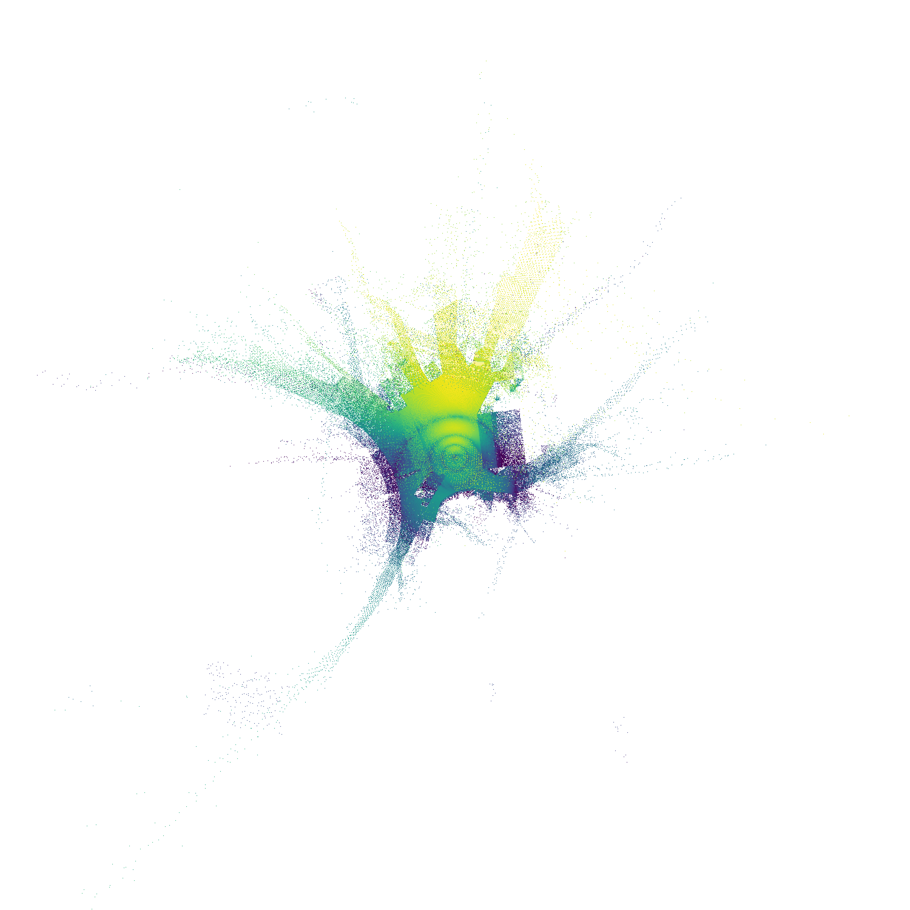
Path gain |
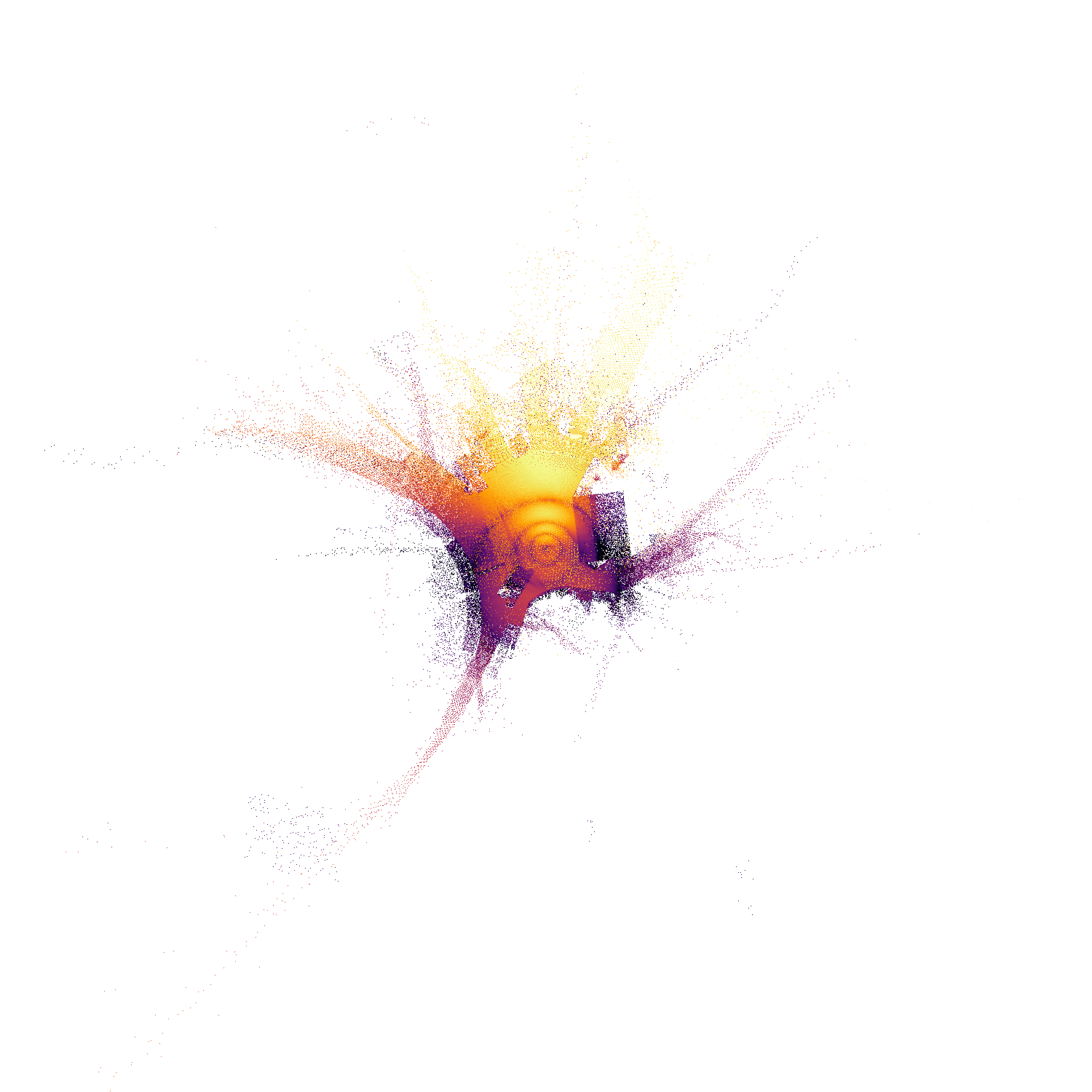
Received signal strength |
|---|---|
|
|
Channel path gain in dB before transmit power. |
Received power in dBm after transmit power. |
SINR |
Transmitter association |
|---|---|
|
|
Signal-to-interference-plus-noise ratio in dB. |
Discrete serving-transmitter index. |
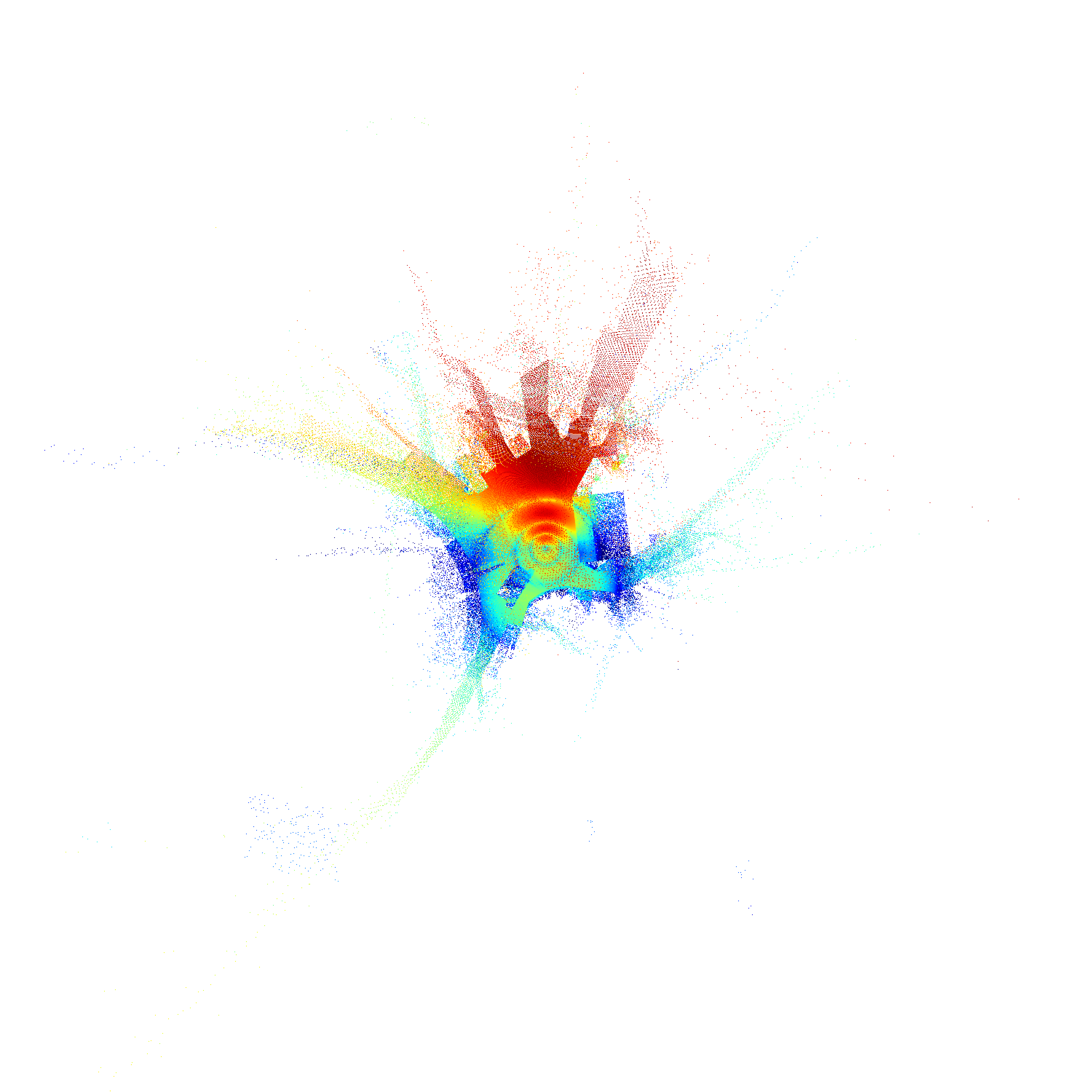

Unmodified exports from one Boston Sionna RT run with a single 3.5 GHz sector transmitter, 1 m cells and a 1.5 m receiver plane.
Arrays are linear
float32, shape(n_tx, rows, columns), rows south to north, with ENU cell centres. Path gain and SINR are ratios; received power is in watts.PNGs are north-up, one pixel per solver cell, transparent where there is no data, and never spatially interpolated. Their metadata records the source grid, units, display range and integer display scale. The association PNG is rendered directly from integer labels.
SINR is computed per cell from the received powers and the scene’s thermal noise power; the bandwidth, temperature and noise power are recorded.
Geometry products#
Receiver-height voxel slice |
Voxel z-depth preview |
|---|---|
|
|
Binary occupancy at the receiver height on the voxel grid. |
Maximum occupied voxel elevation per column; colour is a linear preview of metres above ground. |
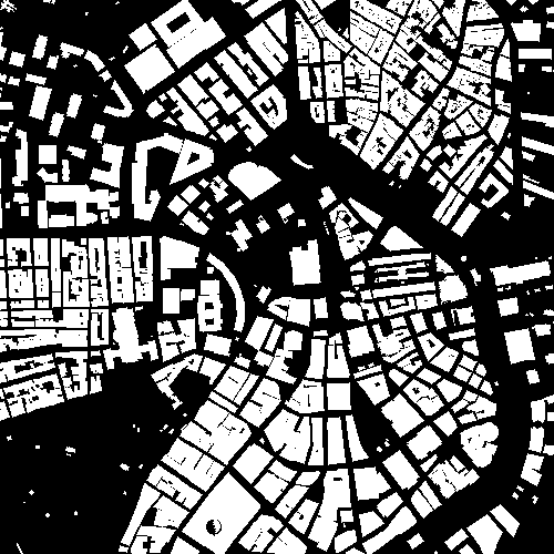
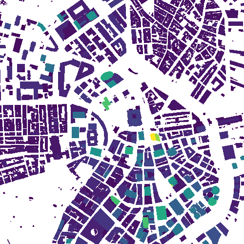
mesh/holds the binary PLY meshes referenced byscene.xml: buildings with native roofs where the source provides them, and the ground, vegetation, paved and water surfaces.2D_Building_Height_Map.npyis a north-up building height raster.vox_slices/contains the sparse voxel volume and the receiver-height occupancy slice.vox_depth/contains the losslessfloat32maximum-z array in metres above ground, a linearly decodable 16-bit depth PNG, a preview PNG for visualisation only, and metadata. Slice and depth products share one XY grid, pitch, bounds and orientation.
Metadata#
tx_info.json records the simulation request, every transmitter’s geographic and local
position, the solver details listed in Sionna RT, the building, terrain
and surface provenance, the coordinate contract, and the export parameters. Together with
terrain/scene_info.json and provenance.json it is sufficient to reconstruct the scene
and re-run the case.